
野牛沟? topographic map
Interactive map
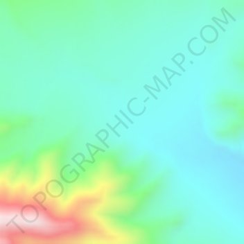
Click on the map to display elevation.
About this map
Name: 野牛沟? topographic map, elevation, terrain.
Location: 野牛沟?, 郭勒木德镇, 格尔木市, 海西蒙古族藏族自治州, 青海省, 中国 (35.95796 93.51431 35.97796 93.53431)
Average elevation: 4,509 m
Minimum elevation: 4,385 m
Maximum elevation: 4,918 m