
白鹭园 topographic map
Interactive map
Click on the map to display elevation.
About this map
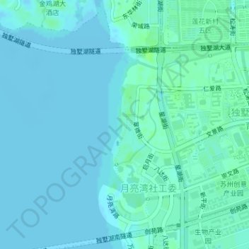
Name: 白鹭园 topographic map, elevation, terrain.
Location: 白鹭园, 金鸡湖街道, 苏州工业园区, 苏州市, 江苏省, 中国 (31.26875 120.71409 31.27762 120.71867)
Average elevation: 2 m
Minimum elevation: -3 m
Maximum elevation: 8 m
Other topographic maps
Click on a map to view its topography, its elevation and its terrain.