
Le Moléson topographic map
Interactive map
Click on the map to display elevation.
About this map
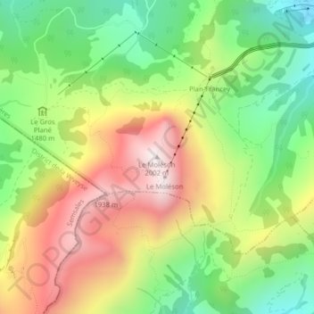
Name: Le Moléson topographic map, elevation, terrain.
Location: Le Moléson, Gruyères, Greyerzbezirk, Freiburg, 1663, Schweiz (46.54889 7.01709 46.54899 7.01719)
Average elevation: 1,503 m
Minimum elevation: 1,115 m
Maximum elevation: 1,976 m