
Asper topographic map
Interactive map
Click on the map to display elevation.
About this map
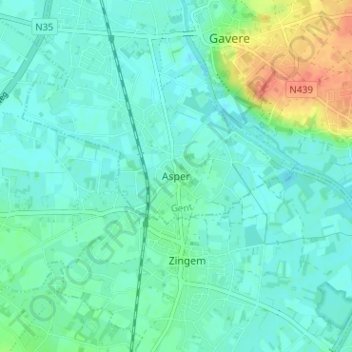
Name: Asper topographic map, elevation, terrain.
Location: Asper, Gavere, Gand, Flandre orientale, Flandre, 9890, Belgique (50.89353 3.63175 50.93353 3.67175)
Average elevation: 13 m
Minimum elevation: 3 m
Maximum elevation: 46 m