
Thank you for supporting this site ❤️
Make a donation
Make a donation
Eisden topographic map
Click on the map to display elevation.
Thank you for supporting this site ❤️
Make a donation
Make a donation
About this map
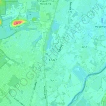
Name: Eisden topographic map, elevation, terrain.
Location: Eisden, Maasmechelen, Tongeren, Limburg, Flanders, Belgium (50.97467 5.66020 51.00403 5.73608)
Average elevation: 39 m
Minimum elevation: 28 m
Maximum elevation: 94 m
Thank you for supporting this site ❤️
Make a donation
Make a donation