Cromlechs d'Okabé topographic map
Interactive map
Click on the map to display elevation.
About this map
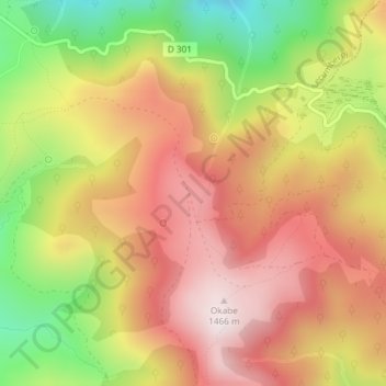
Name: Cromlechs d'Okabé topographic map, elevation, terrain.
Average elevation: 1,187 m
Minimum elevation: 826 m
Maximum elevation: 1,463 m

Click on the map to display elevation.
Name: Cromlechs d'Okabé topographic map, elevation, terrain.
Average elevation: 1,187 m
Minimum elevation: 826 m
Maximum elevation: 1,463 m