
Corswarem topographic map
Interactive map
Click on the map to display elevation.
About this map
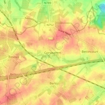
Name: Corswarem topographic map, elevation, terrain.
Location: Corswarem, Berloz, Waremme, Liège, Wallonie, 4257, Belgique (50.68957 5.19315 50.72957 5.23315)
Average elevation: 123 m
Minimum elevation: 87 m
Maximum elevation: 140 m