
Thank you for supporting this site ❤️
Make a donation
Make a donation
Serobela topographic map
Click on the map to display elevation.
Thank you for supporting this site ❤️
Make a donation
Make a donation
About this map
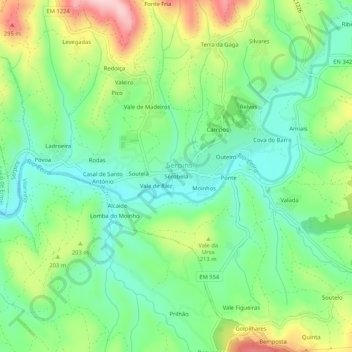
Name: Serobela topographic map, elevation, terrain.
Location: Serobela, Serpins, Lousã, Coimbra, 3200-312, Portugal (40.13584 -8.22823 40.17584 -8.18823)
Average elevation: 168 m
Minimum elevation: 84 m
Maximum elevation: 326 m
Thank you for supporting this site ❤️
Make a donation
Make a donation