
Thank you for supporting this site ❤️
Make a donation
Make a donation
Villers topographic map
Click on the map to display elevation.
Thank you for supporting this site ❤️
Make a donation
Make a donation
About this map
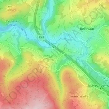
Name: Villers topographic map, elevation, terrain.
Location: Villers, Stavelot, Verviers, Liège, Wallonie, 4970, Belgique (50.36204 5.97452 50.40204 6.01452)
Average elevation: 405 m
Minimum elevation: 283 m
Maximum elevation: 575 m
Thank you for supporting this site ❤️
Make a donation
Make a donation
Other topographic maps
Click on a map to view its topography, its elevation and its terrain.