
Casal dos Claros topographic map
Interactive map
Click on the map to display elevation.
About this map
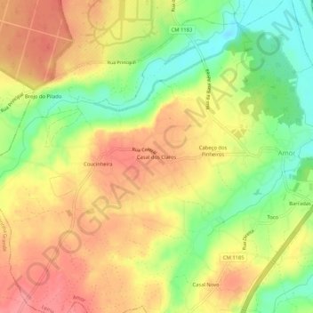
Name: Casal dos Claros topographic map, elevation, terrain.
Location: Casal dos Claros, Amor, Leiria, 2430-012, Portugal (39.78279 -8.90190 39.82279 -8.86190)
Average elevation: 46 m
Minimum elevation: 3 m
Maximum elevation: 79 m