
Thank you for supporting this site ❤️
Make a donation
Make a donation
Al Ghazalah topographic map
Click on the map to display elevation.
Thank you for supporting this site ❤️
Make a donation
Make a donation
About this map
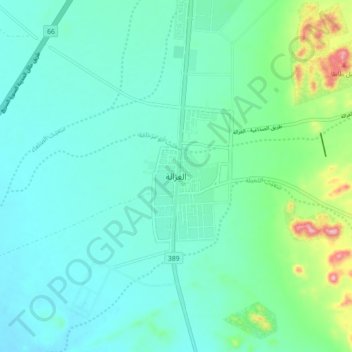
Name: Al Ghazalah topographic map, elevation, terrain.
Location: Al Ghazalah, Ḥa'il Province, Saudi Arabia (26.74748 41.27571 26.82748 41.35571)
Average elevation: 1,096 m
Minimum elevation: 1,048 m
Maximum elevation: 1,295 m
Thank you for supporting this site ❤️
Make a donation
Make a donation
Other topographic maps
Click on a map to view its topography, its elevation and its terrain.