
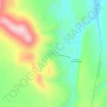
X topographic map
Interactive map
Click on the map to display elevation.
About this map
Name: X topographic map, elevation, terrain.
Location: X, Municipio Llica, Daniel Campos, Potosí, Bolivia (-19.94897 -68.49560 -19.94887 -68.49550)
Average elevation: 3,958 m
Minimum elevation: 3,822 m
Maximum elevation: 4,151 m