
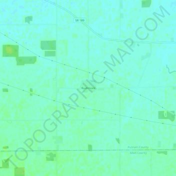
Rushmore topographic map
Interactive map
Click on the map to display elevation.
About this map
Name: Rushmore topographic map, elevation, terrain.
Location: Rushmore, Putnam County, Ohio, Estados Unidos de América (40.85422 -84.27328 40.89422 -84.23328)
Average elevation: 231 m
Minimum elevation: 227 m
Maximum elevation: 238 m