
Thank you for supporting this site ❤️
Make a donation
Make a donation
Petit-Hallet topographic map
Click on the map to display elevation.
Thank you for supporting this site ❤️
Make a donation
Make a donation
About this map
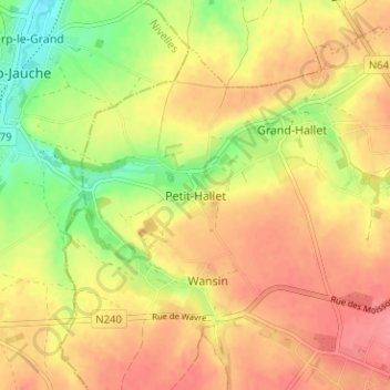
Name: Petit-Hallet topographic map, elevation, terrain.
Location: Petit-Hallet, Hannuit, Borgworm, Luik, Wallonië, 4280, België (50.66733 4.99846 50.70733 5.03846)
Average elevation: 107 m
Minimum elevation: 64 m
Maximum elevation: 136 m
Thank you for supporting this site ❤️
Make a donation
Make a donation