
Kappel topographic map
Interactive map
Click on the map to display elevation.
About this map
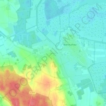
Name: Kappel topographic map, elevation, terrain.
Average elevation: 593 m
Minimum elevation: 572 m
Maximum elevation: 646 m
Other topographic maps
Click on a map to view its topography, its elevation and its terrain.
Federsee
Deutschland > Baden-Württemberg > Landkreis Biberach > Bad Buchau
Federsee, Bad Buchau, Gemeindeverwaltungsverband Bad Buchau, Landkreis Biberach, Baden-Württemberg, Deutschland
Average elevation: 580 m