
Harthausen topographic map
Interactive map
Click on the map to display elevation.
About this map
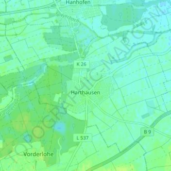
Name: Harthausen topographic map, elevation, terrain.
Average elevation: 110 m
Minimum elevation: 105 m
Maximum elevation: 115 m
Other topographic maps
Click on a map to view its topography, its elevation and its terrain.
Altrip
Deutschland > Rheinland-Pfalz > Rhein-Pfalz-Kreis > Altrip
Altrip, Rheinauen, Rhein-Pfalz-Kreis, Rheinland-Pfalz, 67122, Deutschland
Average elevation: 96 m