
Thank you for supporting this site ❤️
Make a donation
Make a donation
Tracyton topographic map
Click on the map to display elevation.
Thank you for supporting this site ❤️
Make a donation
Make a donation
About this map
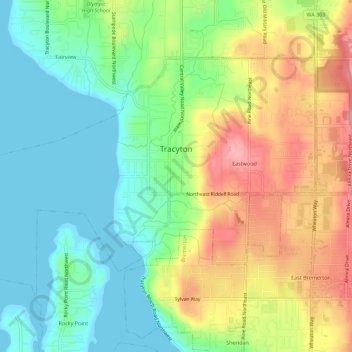
Name: Tracyton topographic map, elevation, terrain.
Location: Tracyton, Kitsap County, Washington, United States (47.59612 -122.68456 47.62139 -122.62877)
Average elevation: 48 m
Minimum elevation: -1 m
Maximum elevation: 122 m
Thank you for supporting this site ❤️
Make a donation
Make a donation