
Al Theeb topographic map
Interactive map
Click on the map to display elevation.
About this map
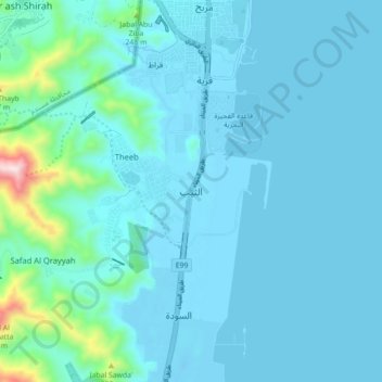
Name: Al Theeb topographic map, elevation, terrain.
Location: Al Theeb, Fujairah Emirate, United Arab Emirates (25.19732 56.31746 25.27732 56.39746)
Average elevation: 67 m
Minimum elevation: -12 m
Maximum elevation: 685 m
Other topographic maps
Click on a map to view its topography, its elevation and its terrain.