
Thank you for supporting this site ❤️
Make a donation
Make a donation
Nauheim topographic map
Click on the map to display elevation.
Thank you for supporting this site ❤️
Make a donation
Make a donation
About this map
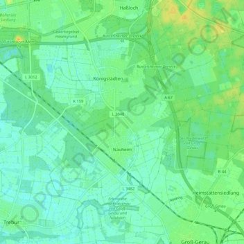
Name: Nauheim topographic map, elevation, terrain.
Location: Nauheim, Kreis Groß-Gerau, Hesse, 64569, Germany (49.92880 8.42204 49.97692 8.52771)
Average elevation: 90 m
Minimum elevation: 82 m
Maximum elevation: 102 m
Thank you for supporting this site ❤️
Make a donation
Make a donation