
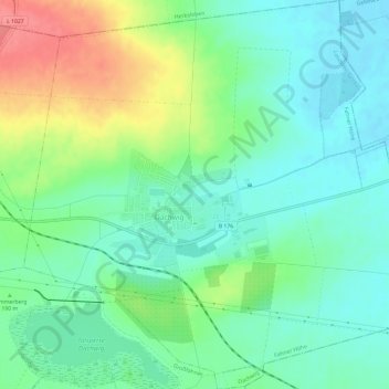
Dachwig topographic map
Interactive map
Click on the map to display elevation.
About this map
Name: Dachwig topographic map, elevation, terrain.
Location: Dachwig, Fahner Höhe, Landkreis Gotha, Thüringen, Deutschland (51.06069 10.83183 51.09808 10.89114)
Average elevation: 186 m
Minimum elevation: 161 m
Maximum elevation: 239 m
Dachwig ist eine Gemeinde im thüringischen Landkreis Gotha und Mitglied der Verwaltungsgemeinschaft Fahner Höhe.