
Thank you for supporting this site ❤️
Make a donation
Make a donation
Rangarh topographic map
Click on the map to display elevation.
Thank you for supporting this site ❤️
Make a donation
Make a donation
About this map
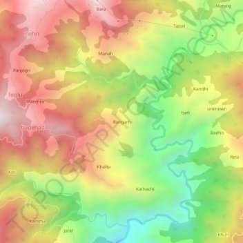
Name: Rangarh topographic map, elevation, terrain.
Location: Rangarh, Nihri, Mandi, Himachal Pradesh, India (31.36627 77.02511 31.40627 77.06511)
Average elevation: 1,778 m
Minimum elevation: 1,239 m
Maximum elevation: 2,272 m
Thank you for supporting this site ❤️
Make a donation
Make a donation