
Thank you for supporting this site ❤️
Make a donation
Make a donation
Lakra Dewani topographic map
Click on the map to display elevation.
Thank you for supporting this site ❤️
Make a donation
Make a donation
About this map
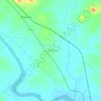
Name: Lakra Dewani topographic map, elevation, terrain.
Location: Lakra Dewani, Jama, Dumka District, Jharkhand, India (24.34759 87.17250 24.38759 87.21250)
Average elevation: 148 m
Minimum elevation: 133 m
Maximum elevation: 210 m
Thank you for supporting this site ❤️
Make a donation
Make a donation