
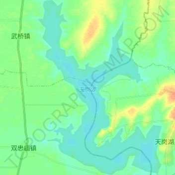
天岗湖 topographic map
Interactive map
Click on the map to display elevation.
About this map
Name: 天岗湖 topographic map, elevation, terrain.
Location: 天岗湖, 五河县, 蚌埠市, 安徽省, 中国 (33.21371 117.90219 33.31586 117.98863)
Average elevation: 19 m
Minimum elevation: 10 m
Maximum elevation: 40 m
Other topographic maps
Click on a map to view its topography, its elevation and its terrain.