
Thank you for supporting this site ❤️
Make a donation
Make a donation
French Polynesia topographic map
Click on the map to display elevation.
Thank you for supporting this site ❤️
Make a donation
Make a donation
About this map
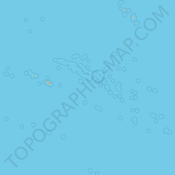
Name: French Polynesia topographic map, elevation, terrain.
Location: French Polynesia, France (-28.09902 -154.93606 -7.65922 -134.24480)
Average elevation: 0 m
Minimum elevation: 0 m
Maximum elevation: 1,293 m
Thank you for supporting this site ❤️
Make a donation
Make a donation
Other topographic maps
Click on a map to view its topography, its elevation and its terrain.
Roche de Solutré
France > Bourgogne-Franche-Comté > Saône-et-Loire > Solutré-Pouilly
Average elevation: 371 m
Thank you for supporting this site ❤️
Make a donation
Make a donation
Le Moulin de Dore
France > Nouvelle-Aquitaine > Charente-Maritime > Barzan-Plage > Chez Pilou
Average elevation: 9 m
Thank you for supporting this site ❤️
Make a donation
Make a donation
Le Colombier
France > Nouvelle-Aquitaine > Corrèze > Lamazière-Basse > Le Colombier
Average elevation: 516 m
Île de Vassivière
France > Nouvelle-Aquitaine > Haute-Vienne > Beaumont-du-Lac
Average elevation: 664 m
Thank you for supporting this site ❤️
Make a donation
Make a donation