
Thank you for supporting this site ❤️
Make a donation
Make a donation
Bethlehem topographic map
Click on the map to display elevation.
Thank you for supporting this site ❤️
Make a donation
Make a donation
About this map
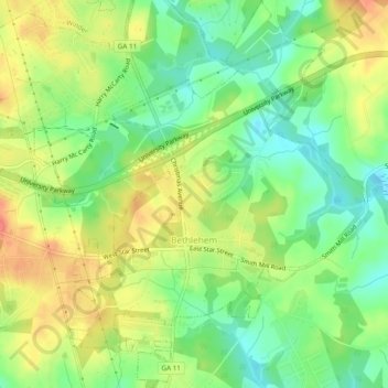
Name: Bethlehem topographic map, elevation, terrain.
Location: Bethlehem, Barrow County, Georgia, United States (33.91771 -83.72884 33.95742 -83.69164)
Average elevation: 258 m
Minimum elevation: 230 m
Maximum elevation: 290 m
Thank you for supporting this site ❤️
Make a donation
Make a donation
Other topographic maps
Click on a map to view its topography, its elevation and its terrain.