
Thank you for supporting this site ❤️
Make a donation
Make a donation
Grote Heide topographic map
Click on the map to display elevation.
Thank you for supporting this site ❤️
Make a donation
Make a donation
About this map
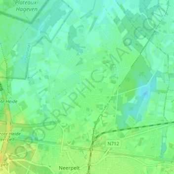
Name: Grote Heide topographic map, elevation, terrain.
Location: Grote Heide, Neerpelt, Pelt, Maaseik, Limburg, 3910, België (51.22758 5.41794 51.26758 5.45794)
Average elevation: 37 m
Minimum elevation: 29 m
Maximum elevation: 49 m
Thank you for supporting this site ❤️
Make a donation
Make a donation
Other topographic maps
Click on a map to view its topography, its elevation and its terrain.