
Thank you for supporting this site ❤️
Make a donation
Make a donation
Shopton Park topographic map
Click on the map to display elevation.
Thank you for supporting this site ❤️
Make a donation
Make a donation
About this map
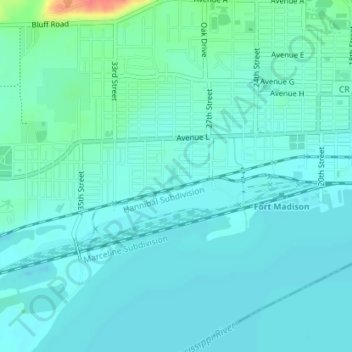
Name: Shopton Park topographic map, elevation, terrain.
Location: Shopton Park, Fort Madison, Lee County, Iowa, United States (40.62307 -91.34878 40.62477 -91.34735)
Average elevation: 166 m
Minimum elevation: 155 m
Maximum elevation: 217 m
Thank you for supporting this site ❤️
Make a donation
Make a donation