
Make a donation
Pljevlja topographic map
Click on the map to display elevation.
Make a donation
Pljevlja
The town lies at an altitude of 770 m (2,530 ft). In the Middle Ages, Pljevlja had been a crossroad of the important commercial roads and cultural streams, with important roads connecting the littoral with the Balkan interior. In 2023, the municipality of Pljevlja had a population of 24,542, while the city itself had a population of 16,419. The municipality borders those of Žabljak, Bijelo Polje and Mojkovac in Montenegro, as well as Bosnia and Herzegovina to the west and Serbia to the northeast. With a total area of 1,346 km2 (520 sq mi), it is the second largest municipality in Montenegro.
Make a donation
About this map
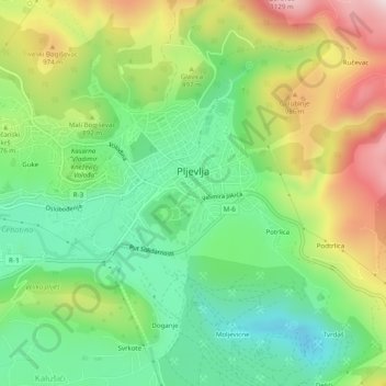
Name: Pljevlja topographic map, elevation, terrain.
Location: Pljevlja, Pljevlja Municipality, 84210, Montenegro (43.34520 19.32289 43.36364 19.37220)
Average elevation: 845 m
Minimum elevation: 663 m
Maximum elevation: 1,134 m
Make a donation
Other topographic maps
Click on a map to view its topography, its elevation and its terrain.