
Thank you for supporting this site ❤️
Make a donation
Make a donation
Steuben topographic map
Click on the map to display elevation.
Thank you for supporting this site ❤️
Make a donation
Make a donation
About this map
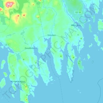
Name: Steuben topographic map, elevation, terrain.
Location: Steuben, Washington County, Maine, 04680, United States (44.34144 -68.01722 44.59771 -67.87375)
Average elevation: 23 m
Minimum elevation: -3 m
Maximum elevation: 324 m
Thank you for supporting this site ❤️
Make a donation
Make a donation
Other topographic maps
Click on a map to view its topography, its elevation and its terrain.