
Schweriner See topographic map
Interactive map
Click on the map to display elevation.
About this map
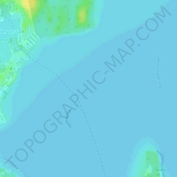
Name: Schweriner See topographic map, elevation, terrain.
Average elevation: 36 m
Minimum elevation: 35 m
Maximum elevation: 56 m
Other topographic maps
Click on a map to view its topography, its elevation and its terrain.
Neu Pampow
Deutschland > Mecklenburg-Vorpommern > Schwerin
Neu Pampow, Schwerin, Mecklenburg-Vorpommern, 19075, Deutschland
Average elevation: 54 m