
贞山街道 topographic map
Interactive map
Click on the map to display elevation.
About this map
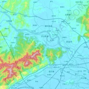
Name: 贞山街道 topographic map, elevation, terrain.
Location: 贞山街道, 四会市, 肇庆市, 广东省, 中国 (23.27686 112.49939 23.36854 112.71289)
Average elevation: 83 m
Minimum elevation: -2 m
Maximum elevation: 642 m
Other topographic maps
Click on a map to view its topography, its elevation and its terrain.