
Lee's Summit topographic map
Interactive map
Click on the map to display elevation.
About this map
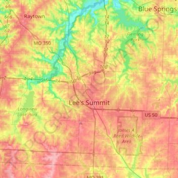
Name: Lee's Summit topographic map, elevation, terrain.
Average elevation: 291 m
Minimum elevation: 233 m
Maximum elevation: 338 m
Other topographic maps
Click on a map to view its topography, its elevation and its terrain.
Kansas City
Vereinigte Staaten von Amerika > Missouri > Jackson County
Kansas City, Jackson County, Missouri, Vereinigte Staaten von Amerika
Average elevation: 277 m