
Pointe de la Fumée topographic map
Interactive map
Click on the map to display elevation.
About this map
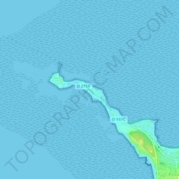
Name: Pointe de la Fumée topographic map, elevation, terrain.
Average elevation: 0 m
Minimum elevation: -1 m
Maximum elevation: 14 m
Other topographic maps
Click on a map to view its topography, its elevation and its terrain.
Fort Vauban
France > Nouvelle-Aquitaine > Charente-Maritime > Fouras
Fort Vauban, Avenue Charles de Gaulle, Fouras, Rochefort, Charente-Maritime, Nouvelle-Aquitaine, France métropolitaine, 17450, France
Average elevation: 3 m