
Rancabolang topographic map
Interactive map
Click on the map to display elevation.
About this map
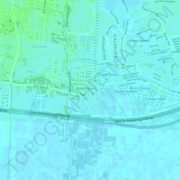
Name: Rancabolang topographic map, elevation, terrain.
Location: Rancabolang, Gedebage, Bandung, West-Java, Jawa, Indonesien (-6.96975 107.68619 -6.96064 107.70474)
Average elevation: 664 m
Minimum elevation: 661 m
Maximum elevation: 670 m
Other topographic maps
Click on a map to view its topography, its elevation and its terrain.
Papandayan
Indonesien > West-Java > Bandung
Papandayan, Bandung, West-Java, Indonesien
Average elevation: 2,319 m
Gunung Kendang
Indonesien > West-Java > Bandung
Gunung Kendang, Bandung, West-Java, Indonesien
Average elevation: 2,284 m
Gunung Patuha
Indonesien > West-Java > Bandung
Gunung Patuha, Bandung, West-Java, 40973, Indonesien
Average elevation: 2,103 m
Kamojang, Kawah
Indonesien > West-Java > Bandung
Kamojang, Kawah, Bandung, West-Java, Indonesien
Average elevation: 1,589 m
Wayang-Windu
Indonesien > West-Java > Bandung
Wayang-Windu, Bandung, West-Java, Indonesien
Average elevation: 1,795 m