
Uchupata topographic map
Interactive map
Click on the map to display elevation.
About this map
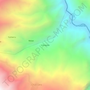
Name: Uchupata topographic map, elevation, terrain.
Location: Uchupata, Tambobamba, Cotabambas, Apurímac, Perú (-13.85111 -72.15198 -13.81111 -72.11198)
Average elevation: 3,044 m
Minimum elevation: 2,312 m
Maximum elevation: 4,051 m