
拖布卡镇 topographic map
Interactive map
Click on the map to display elevation.
About this map
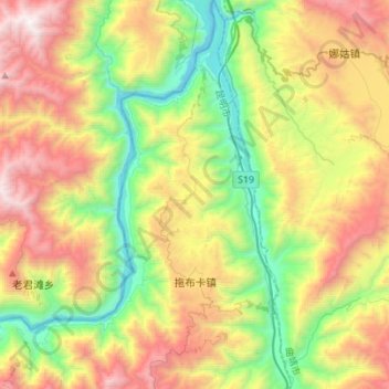
Name: 拖布卡镇 topographic map, elevation, terrain.
Location: 拖布卡镇, 东川区, 昆明市, 云南省, 中国 (26.29965 102.98349 26.54849 103.10221)
Average elevation: 1,738 m
Minimum elevation: 694 m
Maximum elevation: 3,267 m
Other topographic maps
Click on a map to view its topography, its elevation and its terrain.