
Nishi Mera topographic map
Interactive map
Click on the map to display elevation.
About this map
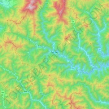
Name: Nishi Mera topographic map, elevation, terrain.
Location: Nishi Mera, Koyu County, Miyazaki Prefecture, Japan (32.12793 131.04162 32.31712 131.28214)
Average elevation: 656 m
Minimum elevation: 178 m
Maximum elevation: 1,687 m
Other topographic maps
Click on a map to view its topography, its elevation and its terrain.
Kawaminami
Kawaminami, Koyu County, Miyazaki Prefecture, Japan
Average elevation: 153 m