
Thank you for supporting this site ❤️
Make a donation
Make a donation
Lois Lake topographic map
Click on the map to display elevation.
Thank you for supporting this site ❤️
Make a donation
Make a donation
About this map
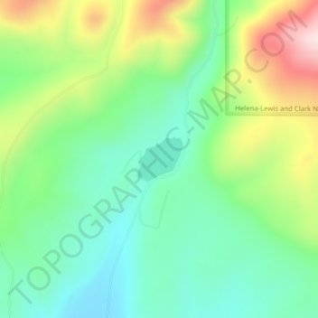
Name: Lois Lake topographic map, elevation, terrain.
Location: Lois Lake, Powell County, Montana, United States (46.65054 -112.48469 46.65434 -112.47900)
Average elevation: 1,671 m
Minimum elevation: 1,539 m
Maximum elevation: 1,926 m
Thank you for supporting this site ❤️
Make a donation
Make a donation
Other topographic maps
Click on a map to view its topography, its elevation and its terrain.