
Thank you for supporting this site ❤️
Make a donation
Make a donation
Schafloch topographic map
Click on the map to display elevation.
Thank you for supporting this site ❤️
Make a donation
Make a donation
About this map
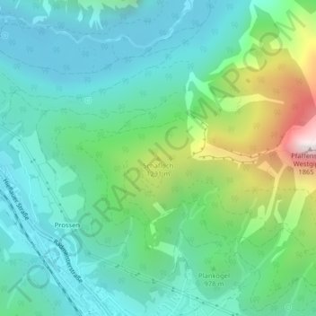
Name: Schafloch topographic map, elevation, terrain.
Location: Schafloch, Eisenerz, Bezirk Leoben, Styria, 8790, Austria (47.55828 14.88953 47.55838 14.88963)
Average elevation: 932 m
Minimum elevation: 628 m
Maximum elevation: 1,842 m
Thank you for supporting this site ❤️
Make a donation
Make a donation