
Wolfenbüttel topographic map
Interactive map
Click on the map to display elevation.
About this map
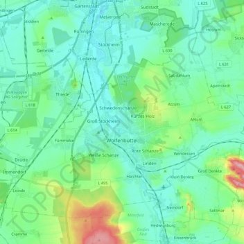
Name: Wolfenbüttel topographic map, elevation, terrain.
Location: Wolfenbüttel, Landkreis Wolfenbüttel, Lower Saxony, Germany (52.12086 10.43187 52.22340 10.64393)
Average elevation: 99 m
Minimum elevation: 68 m
Maximum elevation: 220 m
The town center is located at an elevation of 77 ft (23 m) on the Oker river near the confluence with its Altenau tributary, about 13 km (8.1 mi) south of Brunswick and 60 km (37 mi) southeast of the state capital Hannover. Wolfenbüttel is situated about half-way between the Harz mountain range in the south and the Lüneburg Heath in the north. The Elm-Lappwald Nature Park and the Asse hill range stretch east and southeast of the town.