
Sint-Lenaarts topographic map
Interactive map
Click on the map to display elevation.
About this map
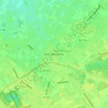
Name: Sint-Lenaarts topographic map, elevation, terrain.
Location: Sint-Lenaarts, Brecht, Antwerpen, Vlaanderen, 2960, België (51.32732 4.65874 51.36732 4.69874)
Average elevation: 25 m
Minimum elevation: 16 m
Maximum elevation: 30 m