
太和县 topographic map
Interactive map
Click on the map to display elevation.
About this map
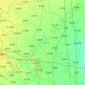
Name: 太和县 topographic map, elevation, terrain.
Location: 太和县, 阜阳市, 安徽省, 236600, 中国 (33.07643 115.38507 33.58616 115.92257)
Average elevation: 35 m
Minimum elevation: 29 m
Maximum elevation: 43 m
Other topographic maps
Click on a map to view its topography, its elevation and its terrain.