
Thank you for supporting this site ❤️
Make a donation
Make a donation
Alvorge topographic map
Click on the map to display elevation.
Thank you for supporting this site ❤️
Make a donation
Make a donation
About this map
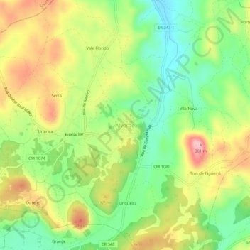
Name: Alvorge topographic map, elevation, terrain.
Location: Alvorge, Ansião, Leiria, 3240-402, Portugal (39.95990 -8.47559 39.99990 -8.43559)
Average elevation: 282 m
Minimum elevation: 203 m
Maximum elevation: 380 m
Thank you for supporting this site ❤️
Make a donation
Make a donation
Other topographic maps
Click on a map to view its topography, its elevation and its terrain.