
东光县 topographic map
Interactive map
Click on the map to display elevation.
About this map
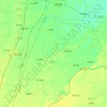
Name: 东光县 topographic map, elevation, terrain.
Location: 东光县, 沧州市, 河北省, 061600, 中国 (37.73463 116.45981 38.03390 116.88638)
Average elevation: 14 m
Minimum elevation: 7 m
Maximum elevation: 22 m
Other topographic maps
Click on a map to view its topography, its elevation and its terrain.