Ibex topographic map
Interactive map
Click on the map to display elevation.
About this map
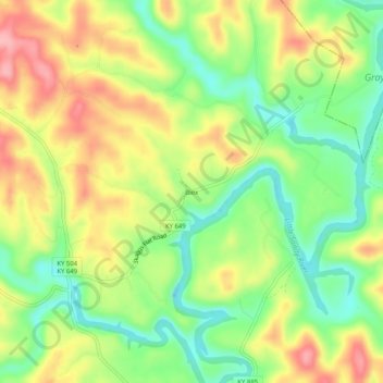
Name: Ibex topographic map, elevation, terrain.
Location: Ibex, Elliott County, Kentucky, United States (38.15619 -83.09351 38.19619 -83.05351)
Average elevation: 249 m
Minimum elevation: 188 m
Maximum elevation: 319 m
Other topographic maps
Click on a map to view its topography, its elevation and its terrain.
Culver
United States > Kentucky > Elliott County
Culver, Elliott County, Kentucky, United States
Average elevation: 271 m
Stark
United States > Kentucky > Elliott County
Stark, Elliott County, Kentucky, United States
Average elevation: 285 m
Newfoundland
United States > Kentucky > Elliott County
Newfoundland, Elliott County, Kentucky, 41171, United States
Average elevation: 259 m
Sandy Hook
United States > Kentucky > Elliott County
Sandy Hook, Elliott County, Kentucky, United States
Average elevation: 261 m
Isonville
United States > Kentucky > Elliott County
Isonville, Elliott County, Kentucky, 41149, United States
Average elevation: 275 m