
Thank you for supporting this site ❤️
Make a donation
Make a donation
Heede topographic map
Click on the map to display elevation.
Thank you for supporting this site ❤️
Make a donation
Make a donation
About this map
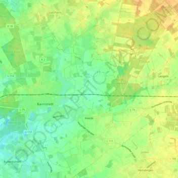
Name: Heede topographic map, elevation, terrain.
Location: Heede, Rantzau, Kreis Pinneberg, Schleswig-Holstein, Deutschland (53.75935 9.76638 53.83029 9.86157)
Average elevation: 18 m
Minimum elevation: 4 m
Maximum elevation: 32 m
Thank you for supporting this site ❤️
Make a donation
Make a donation
Other topographic maps
Click on a map to view its topography, its elevation and its terrain.
Tävsmoor/Haselauer Moor
Deutschland > Schleswig-Holstein > Kreis Pinneberg > Appen
Average elevation: 9 m
Thank you for supporting this site ❤️
Make a donation
Make a donation
Liether Kalkgrube
Deutschland > Schleswig-Holstein > Kreis Pinneberg > Klein Nordende
Average elevation: 14 m