
Thank you for supporting this site ❤️
Make a donation
Make a donation
Aareavaara topographic map
Click on the map to display elevation.
Thank you for supporting this site ❤️
Make a donation
Make a donation
About this map
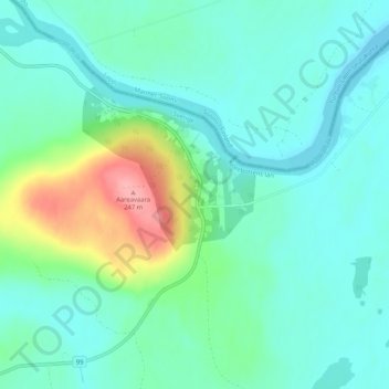
Name: Aareavaara topographic map, elevation, terrain.
Location: Aareavaara, Pajala kommun, Norrbotten County, Sweden (67.42318 23.46129 67.46318 23.50129)
Average elevation: 173 m
Minimum elevation: 152 m
Maximum elevation: 247 m
Thank you for supporting this site ❤️
Make a donation
Make a donation
Other topographic maps
Click on a map to view its topography, its elevation and its terrain.