
Thank you for supporting this site ❤️
Make a donation
Make a donation
Westried topographic map
Click on the map to display elevation.
Thank you for supporting this site ❤️
Make a donation
Make a donation
About this map
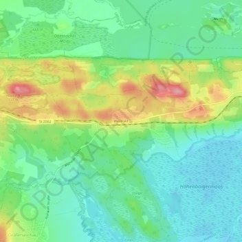
Name: Westried topographic map, elevation, terrain.
Average elevation: 660 m
Minimum elevation: 619 m
Maximum elevation: 740 m
Thank you for supporting this site ❤️
Make a donation
Make a donation
Other topographic maps
Click on a map to view its topography, its elevation and its terrain.
82418
Deutschland > Bayern > Landkreis Garmisch-Partenkirchen > Murnau am Staffelsee > Hechendorf
Average elevation: 668 m