
Pariangan topographic map
Interactive map
Click on the map to display elevation.
About this map
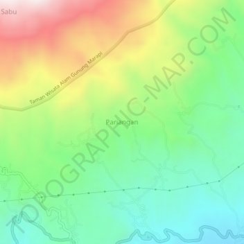
Name: Pariangan topographic map, elevation, terrain.
Location: Pariangan, Tanah Datar, West Sumatra, Sumatra, Indonesia (-0.46212 100.46990 -0.42212 100.50990)
Average elevation: 1,040 m
Minimum elevation: 758 m
Maximum elevation: 1,514 m