
Thank you for supporting this site ❤️
Make a donation
Make a donation
Bagi topographic map
Click on the map to display elevation.
Thank you for supporting this site ❤️
Make a donation
Make a donation
About this map
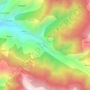
Name: Bagi topographic map, elevation, terrain.
Location: Bagi, Mandi, Himachal Pradesh, India (31.76242 77.05853 31.80242 77.09853)
Average elevation: 1,981 m
Minimum elevation: 1,364 m
Maximum elevation: 2,586 m
Thank you for supporting this site ❤️
Make a donation
Make a donation